
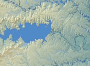
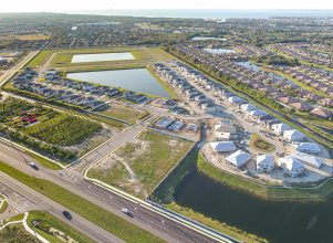
Land surveying establishes or reestablishes corners, lines, boundaries and monuments of real property (land) based on record documents, historical evidence and present standards of practice. Halff’s skilled land surveying team includes licensed surveyors in multiple states, that include LSLS, CFeds and ASPRS Certified Photogrammetrist specialized services. Their work is critical to supporting DOT, Federal, municipal, energy and private land development projects among other industries.
Surveying Projects


Surveying Services
- Boundary/Easements/Abstract Research
- Topographic/Design
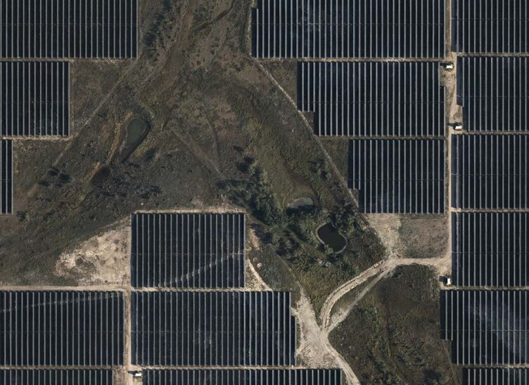
- Energy/Renewables
- Construction/Volume Calculations
- Tree Surveys
- 3D Modeling/BIM
- Survey Control
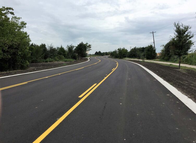
- Transportation/Rail/Transit
- Utility Mapping
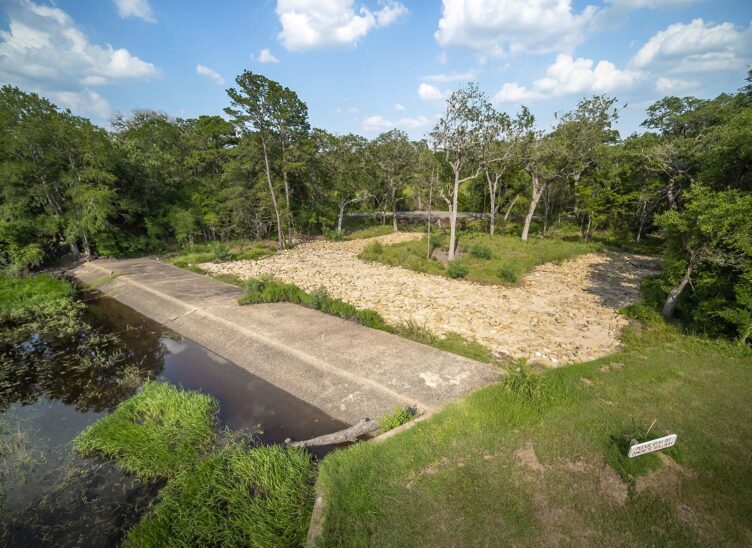
- Bathymetry/Hydrography

Leveraging AI for the Next Generation of Survey & Geospatial Insights
From astrolabes to artificial intelligence (AI), surveying tools and technologies have come a long way. The next generation of survey…
Meet the Team


Related Services
Let’s Connect
Ready to work with Halff? Simply fill out the form to be directed to the best person at Halff to discuss your interests.